
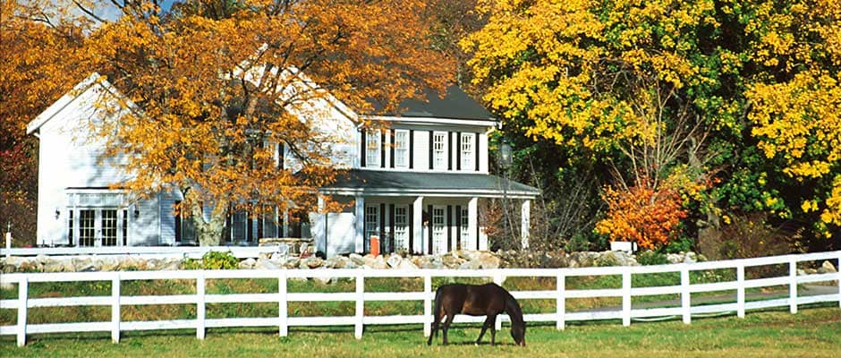

Huckins Farm is a historic location in Bedford, Massachusetts.
Condominium Community
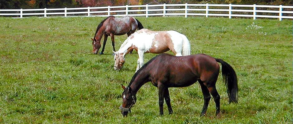
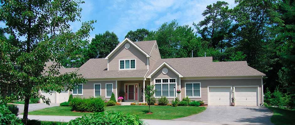
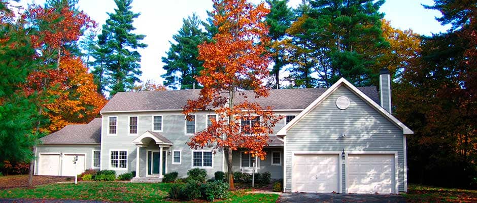
Huckins Farm is an award-winning planned condominium community of 164 privately owned homes, including an antique farmhouse, on-site equestrian center with stables and paddocks, on 294 acres of scenic land.
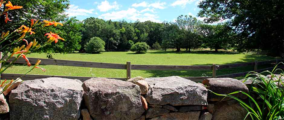
Homeowners own this land in common. Much of Huckins Farm's land use is recreational, and it is biologically diverse with wildlife.
Huckins Farm is a cul de sac community of single and attached homes surrounded by woodland, open fields, fenced pastures, meadows, and river view trails for walking and horse riding. Huckins Farm borders the Great Meadows Wildlife Refuge, a 3,000-acre national conservation area, and the Minnie Reid conservation area.
The first governors of Massachusetts once owned this prized real estate. Huckins Farm was once a working farm and apple orchard for over 200 years. Today, it is ecologically protected and preserves nearly 70 percent of its land as dedicated conservation land.
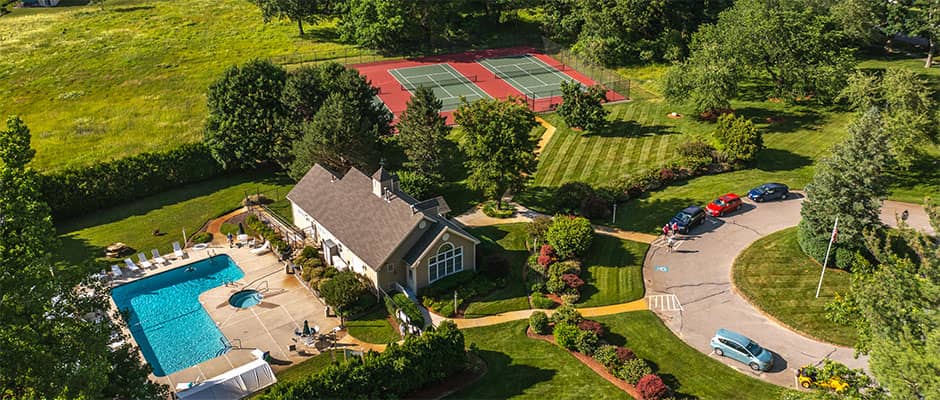
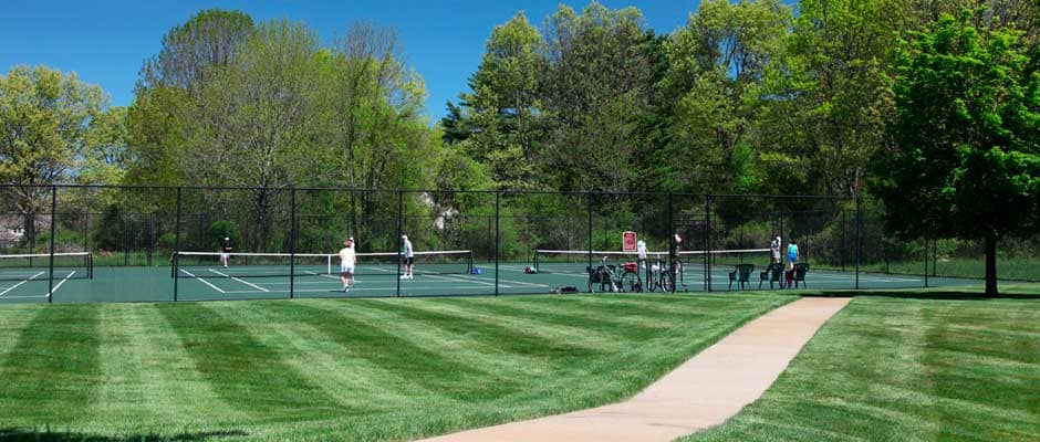
Discover the beauty of old New England with modern amenities of a recreation center with a clubhouse, tennis courts, and an outdoor swimming pool and hot tub. Located just fifteen miles northwest of Boston with easy access to Route 128 and Route 3, Huckins Farm offers you every metropolitan advantage in a secluded retreat.